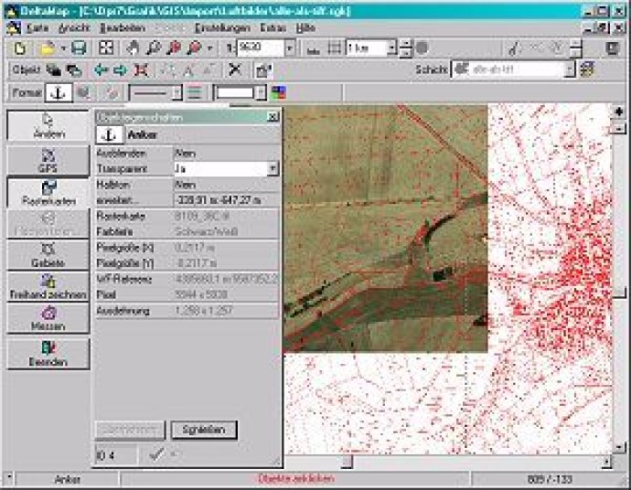
This software enables graphical field management of GPS measurements, import of ESRI-Shape and GPS files, and calculation and editing of fields. It also includes features such as field splitting and restricted area function, as well as a single map for all fields and underlaying raster maps. Additionally, it generates a EU conform field protocol as a PDF.

In addition, Graphical Field Management offers an EU conform Field Protocol as a PDF, ensuring that you are complying with all necessary regulations. Another great feature is the software's true-to-scale print option, which allows you to print your maps in any scale you choose.
Perhaps the most impressive aspect of Graphical Field Management is its ability to manage all of your fields in a single farmmap. This allows you to easily edit your fields, underlay raster maps, and even split fields if necessary. Plus, the software recognizes restricted areas, ensuring that you are always working within the bounds of your land.
The software also offers a range of tools for calculating areas and distances. You can even edit symbols (e.g. trees and stones), text, and freehand drawings to create custom maps that meet all of your needs. And with over 80 coordinate reference systems available, you can be sure that Graphical Field Management has you covered, no matter where you are in the world. Overall, this software is a great choice for anyone looking to manage their fields with ease and efficiency.
Version 5.3: N/A