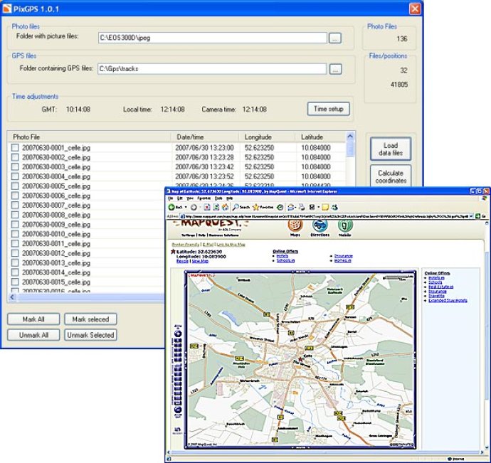
PixGPS is software that enables quick and accurate tracking of photo location by utilizing a GPS Receiver. It allows the download of photos and track files from a GPS, upon which the program computes and inserts the position of each photo into the EXIF data.

The working process of PixGPS is simple. You need to enable GPS while clicking your photos. Once your photo session is over, you can download the photos from your camera and the track file from GPS. PixGPS will automatically calculate the exact location of each photo and can insert this information into the EXIF data of each photo.
In addition to this, PixGPS also allows you to view the location on a map, export a list of locations to Google Earth or even export positions to a text file. This makes it very easy to use the data in other software systems like mapping systems and databases.
In conclusion, PixGPS is an excellent software for photographers who are always on the lookout for an easy and hassle-free way of tracking GPS coordinates of their photos. Its user-friendly interface and accuracy make it stand out among its competitors.
Version 1.1.2: More accurate calculations, copy/paste coordinates between photos