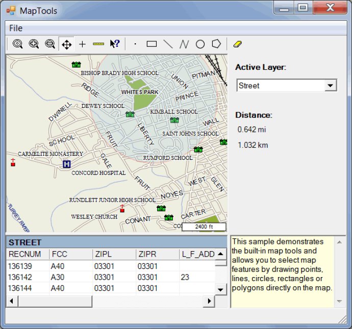
ActualMap is a collection of efficient .NET mapping tools and controls that allow you to integrate maps into desktop apps with ease.

In this latest release of ActualMap, users can now take advantage of several new features. Support is now available for tiled and transparent (RGBA) GeoTIFF raster images. Additionally, the routing engine has been updated to support turn restrictions, which adds a new level of precision to routes. Finally, the DataTableLayer class now supports both Shapefile and WKB spatial data formats, making it a more versatile tool.
Overall, ActualMap is a reliable and flexible choice for anyone in need of advanced mapping capabilities. With its impressive array of features and consistent performance, it's a valuable tool for a wide range of applications. Whether you need to generate maps for transportation, logistics, or other purposes, ActualMap is an outstanding choice for creating interactive, user-friendly maps that meet your needs.
Version 4.7: N/A
Version 4.4: N/A
Version 4.2: N/A
Version 4.0: N/A