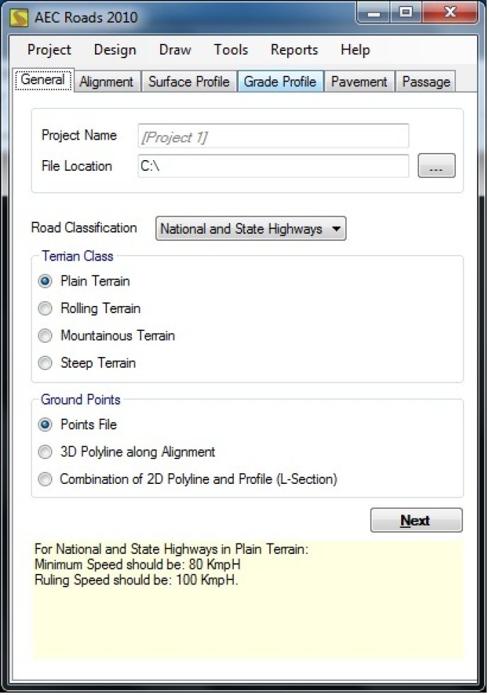
This software allows designing of Road Highways with horizontal and vertical alignments using transition and circular curves. It generates a 3D Road Model that is field-to-finish for infrastructure purposes.

AEC Roads is a 3D Project designer cum Quantity Estimation and Drawing application that serves as an essential part of the kit of Civil Engineers. It can quickly prepare designs, drawings, dimensioning, and quantity estimation while speaking the language of engineers.
Using AEC Roads, engineers can perform difficult AutoCAD drafting in a 3D environment with ease. The program simplifies quantity estimation and bill of quantities preparation. From a given input coordinate point files plotted on a 2D AutoCAD file, the Setup Wizard automatically starts, and the program determines drawing extents.
AEC Roads allows users to design horizontal and vertical curves with failure notifications based on project requirements. The output is a 3D final Digital Terrain Model files along with several coordinates for the final construction.
In summary, AEC Roads is an accurate, interactive, and cost-effective solution designed to meet the growing demands of the construction industry.
Version 1.0: N/A