Geodata International is a global software database that contains countries with their corresponding georeferenced towns, postal codes and administrative areas, complete with WGS84 and UTM coordinates and elevations for geocoding, proximity search, navigation and distance calculation.

One of the most important features of Geodata International is the ability to establish a georeference for addresses, such as place names or postal codes. This georeference can be used for proximity searches, allowing businesses to find the nearest chain stores or restaurants. Furthermore, the georeferences can be used to create business zones, statistics, and maps.
Geodata International assigns towns, municipalities, and postal codes to the superordinated administrative units, and it is possible to determine distances between places or postal areas by using the coordinates contained in the database tables. The database tables are available in CSV format (Comma Separated Values) using UTF8 character sets, allowing for easy importing into almost any data system.
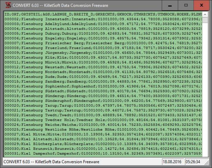
The software also includes a freeware program called CONVERT, which can convert the available database tables to other data formats and character sets. With CONVERT, users can convert CSV data to the SDF format (Simple Document Format), or to the dBase format, among others. The program offers the flexibility to select different character sets such as ASCII, ANSI, UTF8, and UniCode to allow the import of data in any database management system or file system.
Overall, Geodata International is an excellent software that offers a comprehensive database of the world's georeferenced towns, municipalities, postal codes, and administrative units. The software's features make it an invaluable tool for businesses and individuals looking to perform geocoding, proximity searches, navigation, and distance calculations with ease.
Version 13.03: All databases updated to on status April 2021. Database "Germany" updated on status 1 January 2021. High-resolution country versions without extra charge. Ten new countries added. Google Plus code coordinates added to all data tables. World time UTC_DIF and beginning / end of Daylight Saving Time.