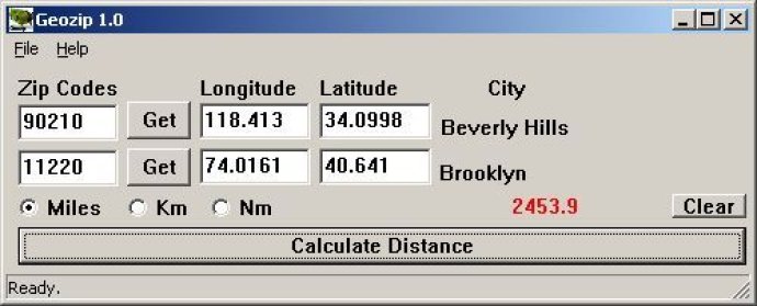
Geozip is a software that allows you to calculate the distance between US and Canadian zip codes or geographical coordinates. It offers options for miles, kilometers, or nautical miles output for your convenience.

One of the standout features of this software is the ability to choose the type of output you want for your measurements. You can choose between miles, kilometers, or nautical miles, depending on your preference.
Geozip also offers customization options, which comes in handy when you need more specific applications using geographical distance calculations. In summary, Geozip is a powerful tool that offers accurate and customizable calculations, making it an excellent choice for anyone in need of distance measurements.
Version 1: N/A