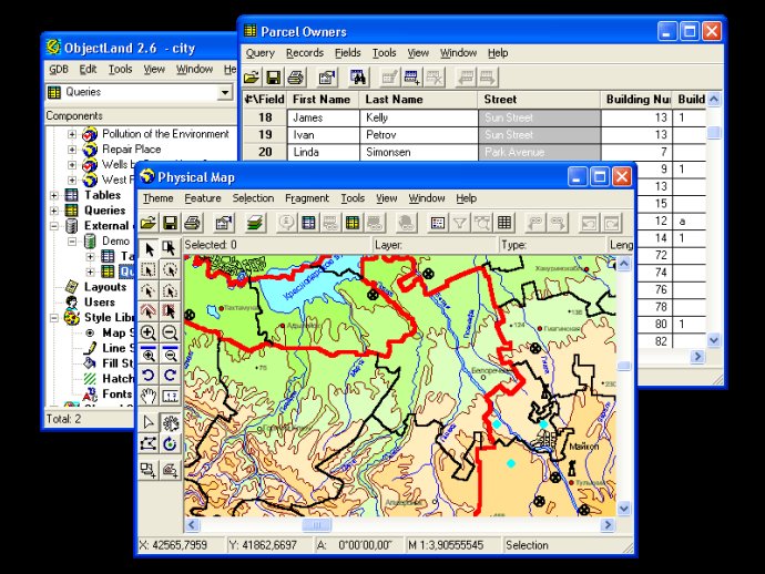
ObjectLand is a versatile Geographic Information System (GIS) that runs on Windows operating system. The software offers multi-user data editing and the ability to use spatial data and tables from internal or external databases. It also enables data import and export in multiple formats such as MIF/MID, SHP, DXF, DBF, and CSV, along with user access permissions.

One of the key advantages of GIS ObjectLand is its compatibility with a variety of database management systems, including MS SQL Server, Oracle, DB2, MySQL, Interbase/Firebird, PostgreSQL, and MS Access. This means that users can easily and seamlessly integrate data from different sources into their maps and projects, regardless of the platform or format they use.
Other key features of GIS ObjectLand include the ability to create themes, or user presentations of a map, as well as advanced control over how features are displayed depending on the scale of the map. Users can input and edit spatial data through interactive drawing and by assigning feature coordinates, and can even sew separate pages of an imported map into a seamless, continuous map.
In addition to these capabilities, GIS ObjectLand provides powerful tools for copying, merging, and moving maps, layers, and feature types between different databases. Users can also create tables of arbitrary structure, and use queries to sort and search for data as needed. The software also supports a range of import and export formats, making it easy to work with data from different sources.
With style libraries, support for automation COM interfaces, and granular access permissions that allow users to tailor their experience to their needs, GIS ObjectLand is a flexible and customizable tool for all your spatial data needs. And with multiuser data editing and support for external databases via ODBC, it's the perfect solution for teams and organizations that need to collaborate across different systems and platforms.
Version 2.7.9: N/A