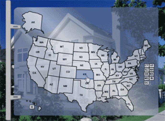
The USA Cities and Highways Map is a versatile software allowing users to customize and manipulate the map. Features include adding or removing locations, hiding or showing roadways, and the ability to link objects to specific URLs. Users can also find their location easily and customize the map's appearance.

The USA Cities and Highways Map is user-friendly and enables users to add or remove locations, hide or show roadways layer, and customize the general look and feel of the map. In just seconds, users can find their location and link objects to specific URLs for efficient navigation.
The map serves as both a directory and guide to major USA cities and state tours. It comes with source files that allow for easy and fast addition or removal of cities.
Installation and configuration of the software are effortless with a guaranteed 5-minute process. Overall, the Major USA Cities and Highway Map is a practical tool for businesses and individuals who require essential information on US roads and cities.
Version 1.01: Possibility to set locations using Administrative Area!