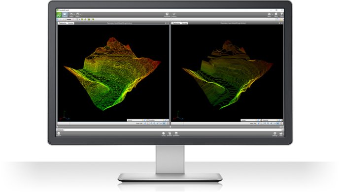
This BIM software is designed for land survey restitution and analysis, providing a comprehensive solution for those seeking an efficient and accurate tool for their land surveying needs. With its user-friendly interface, it is the ideal choice for professionals in this field.

With SierraSoft Land, users can enjoy seamless and intuitive handling of the entire flow of restitution of acquired data, 3D surface modeling, as well as section and volume calculation, all in a simple and comprehensive way. The software is straightforward to use, and users feel comfortable with it in no time.
Users will find the software to be the perfect solution for any land survey-related task that may arise. It comes with robust features that provide accurate measurements, enabling users to analyze the data easily. SierraSoft Land is reliable, efficient and remains affordable, making it an excellent choice for construction professionals, architects and engineers.
In summary, SierraSoft Land is a versatile and user-friendly software package that offers a complete solution for any land survey-related task, regardless of its complexity. It offers accuracy, reliability, speed, affordability and ease of use, enabling users to complete their projects in a timely and efficient manner.
Version 4.0: N/A