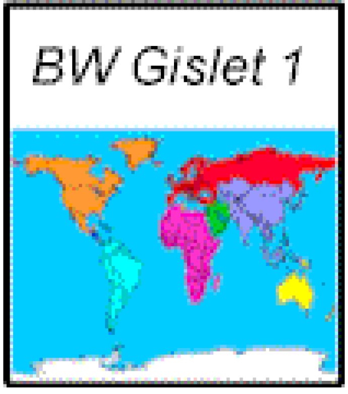
Software for map control at global scale with user input and statistical display.

Some of the key features of this software include the ability to allow users to select a country by simply clicking on it or to display country level statistics. Additionally, the package contains sample applications for a quiz and a statistical display, making it suitable for business and educational applications that require a world map.
Another great thing about this software is that it uses the ISO 3166 two character country controls, which means that developers don't have to worry about complicated coordinates or map projections. Instead, longitude and latitude are used as the coordinate system, making it easy to integrate with other systems.
The control also provides two means of controlling the user interface. The display can be controlled programmatically using methods such as MapCenter, which centers the map at a specified lng/l. This makes it easy to customize the interface based on the user's preferences.
Overall, BW Gislet 1.0 is a powerful map control software that is easy to use and integrates well with other systems. With its intuitive interface and extensive features, it's definitely worth considering for anyone in need of a world-level map control software.
Version 1: N/A