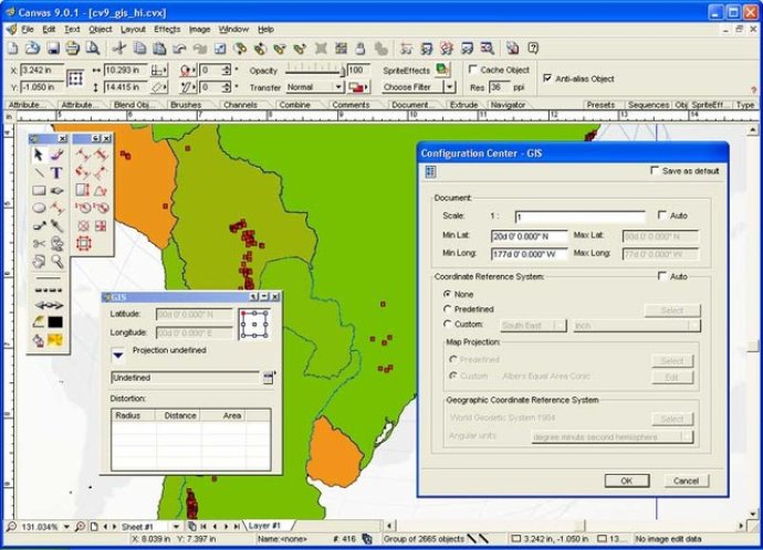
CANVAS 9 GIS Mapping Edition offers direct GIS data support. It allows measurement in geographic coordinates, and imports popular GIS file types into unlimited layers that automatically align and overlap.

One of the most significant advantages of using the CANVAS 9 Advanced GIS Mapping Edition is that it bridges the divide between dedicated GIS analysis software and generic desktop publishing (DTP) software. It is a versatile product that can replace programs that cost thousands of dollars, which makes it an excellent fit for many applications. Where dedicated GIS analysis software is still necessary, CANVAS 9 GIS Mapping Edition becomes an essential publishing companion to the software.
The software also supports a wide variety of files, including MapInfo, ARC/INFO, USGS Digital Line Graphs, TIGER (Census), MrSID (Windows only), GML (Geography Markup Language), SDTS (USGS Spatial Data Transfer Standard), GIS Text, Garmin (GPS), ECW (Enhanced Compressed Wavelet Images), and S57 (IHO International Hydrographic Organization).
Overall, the CANVAS 9 Advanced GIS Mapping Edition is a powerful tool for anyone looking to create accurate and detailed maps easily. With its unparalleled support for GIS data, it is an indispensable aid to any organisation that relies on geographic data.
Version 9.0.4: N/A