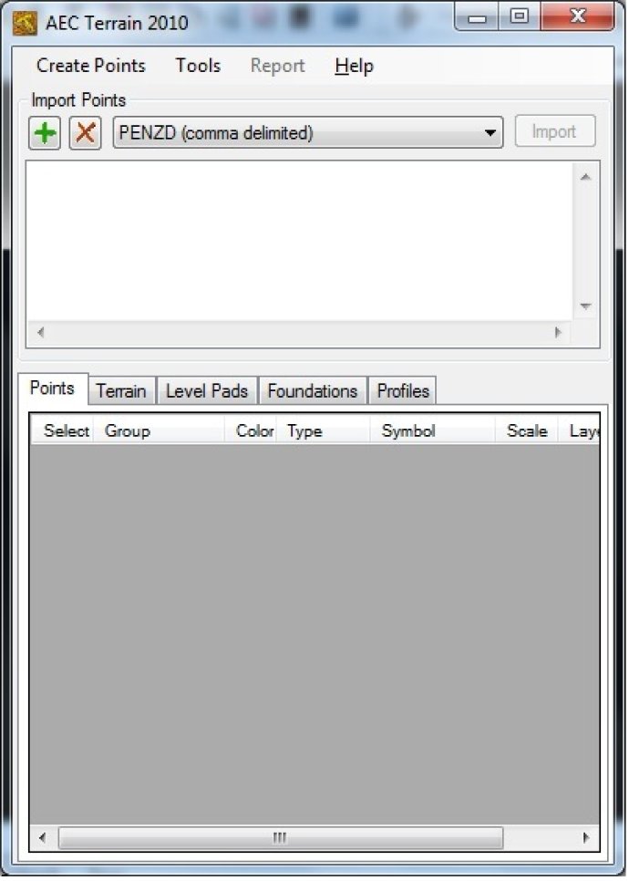
AutoCAD software can generate a Digital Elevation Model by using multiple input point files. It offers features such as multilevel pads, road alignments, mining applications, airfields, terrain layers, and slope parameters.

With AEC Terrain, creating multi-level pads, road alignments, mining applications, and airfields on different layers with various slope parameters for CUT and FILL is a breeze. The interface's mechanism is straightforward, utilizing the Triangular Irregular Network (TIN) model to represent a surface as a set of contiguous, non-overlapping triangles derived from irregularly spaced special points using Delaunay Triangulation.
All you need to do is input the mass points through CSV / Excel Files, and you're well on your way to seamless terrain management and 3D-modeling with AEC Terrain. Say goodbye to frustration and hello to streamlined efficiency with AEC Terrain!
Version 2.0: N/A