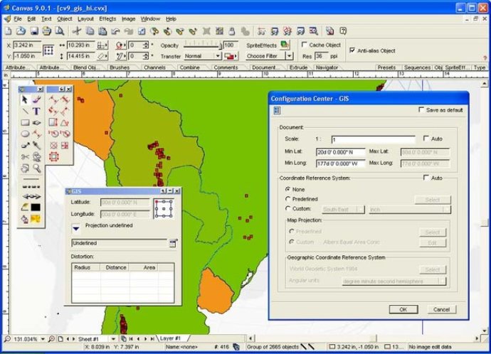
CANVAS 9 GIS Mapping Edition is a software that enables users to work with Geographic Information System data. It supports measurements in geographic coordinates and allows for the import of SHAPE and GeoTIFF files into overlapping layers without limits.

With 2,104 Coordinate Reference Systems, 67 Operation Methods (such as Mercator and Albers Conic Equal Area), 1,052 Map Projections, 302 Geodetic Datums, 21 Angular units, and 45 Length units, you can customize your mapping experience to meet your specific needs.
The CANVAS 9 GIS Mapping Edition is a sophisticated tool that bridges the gap between dedicated GIS analysis software and generic desktop publishing (DTP) software. It is perfect for many applications and can replace programs that cost thousands of dollars. For those who need the power of dedicated GIS analysis software, CANVAS 9 GIS Mapping Edition is the perfect “last mile” publishing companion. Overall, the software is an excellent option for anyone who needs precise and accurate mapping capabilities.
Version 9.0.4: N/A