InnerSoft CAD is a powerful plug-in for AutoCAD that improves productivity for Civil and Survey professionals by providing tools for Counting, Estimating, and exporting/importing to and from Excel. It also enables easy measurements in construction project budgets.

Moreover, users can also Import various data types from an Excel Sheet such as the vertex coordinates for a set of 2D and 3D polylines, points, and sets of texts. This software makes it easy to extract all block definitions from a drawing and create separate AutoCAD files for each block definition. Users can Sum the area or length property of a set of objects and Sum accumulated distance of a user-defined walk within the drawing as well.
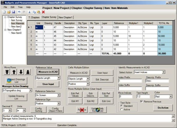
With InnerSoft CAD, users can also draw the longitudinal profile of a terrain or set of surfaces, triangulate a set of points or mesh a model surface, and take measurements on AutoCAD for construction project budgets. Additionally, the software offers the capability to create, open or save different libraries, which contain different AutoCAD drawings organized by books.
Further, InnerSoft CAD can easily draw a polyline graph, a 2D & 3D convex hull, lines, planes, circles and spheres by regression from a selection of points, clothoids, parabolas, circular transition curves, Wholly Transitional Curves, clothoid transition curves and parabolic vertical transitions. All this makes InnerSoft CAD an efficient and powerful software for AutoCAD users, helping to streamline a wide range of tasks and projects effectively.
Version 4.0: New tool to draw a catenary in AutoCAD. Catenaries added to Geometric Tools.