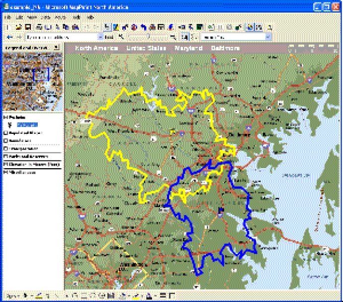
MPSuperShape is a Microsoft MapPoint shape manipulation tool that combines shapes, identifies overlaps and boundaries, and imports and exports files. It requires MapPoint 2006, .NET Framework 2.0 or later, and Windows XP or Vista to function.

One of the most significant advantages of using MPSuperShape is its ability to combine multiple shapes into one large area. This feature is highly beneficial when trying to find the total area covered by existing depots. Additionally, MPSuperShape can quickly identify territory overlaps and areas that meet multiple characteristics, making it an indispensable tool for businesses.
The software also excels in its capability to find boundary shapes around a group of pushpins, which is crucial when working with customer data. MPSuperShape enables users to simplify shape definitions and import shapes from external files, even non-MapPoint files.
Exporting shapes to external files is also possible, including GML and KML. GML is an XML-based format used in the geographic information systems community, while KML is an XML language for Google Earth that is also supported by Google Maps and Microsoft Bing Maps. This capability means seamless integration with other GIS systems and enables the creation of webpages using Bing Maps or Google Maps to display MapPoint shapes and pushpins.
MPSuperShape requires MapPoint 2006 or later, .NET Framework 2.0 or later, and Windows XP, Vista, or Windows 7. In conclusion, MPSuperShape is an ideal tool for those working with shapes on a MapPoint map. Its intuitive interface and powerful set of features make it a must-have for anyone looking to efficiently manipulate shapes.
Version 2.6: Import support for KML MultiGeometry & MID Shape Names; New option to export pushpins to Excel; Various bug fixes & efficiency improvements.
Version 2.4: Ability to export pushpins contained by shapes to Microsoft Excel. Pushpins from each shape are exported to their own worksheet. All data fields are exported for all pushpins. Bug fix: Trial license occasioanlly expired immediately.
Version 2.3: Ability to change the (unselected) colors and thicknesses of all selected shapes with one operation; Various bug fixes including better support for malformed KML files.
Version 2.2: Boundary function now works with shapes as well as pushpins; Boundary function also does a better job of taking the Earth's curvature into account; Bug fixes
Version 2.1: Ability to simplify shapes for improved MapPoint efficiency; Ability to delete all selected shapes; Better color settings; Support for shared edges in the union and intersection operations; Various bug fixes.
Version 1.7: Support for KML StyleMap; Closed/Open Shape Export Option; Support for Windows 7
Version 1.6: Boundary shape feature
Version 1.4: MapInfo MIF import bug fixes
Version 1.3: KML import/export; Improved export options; Can create Virtual Earth and Google Maps web pages.