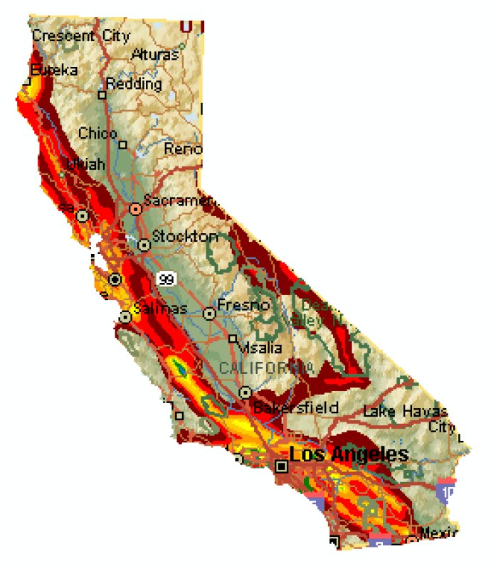
The North American Mapping Templates is a Microsoft MapPoint toolset that helps users generate detailed maps of US states and counties, as well as Canadian provinces. Compatible with MS MapPoint 2002 onwards (North American Edition only).

One of the most useful features of this software is its ability to help users achieve visual clarity by allowing them to "blank out" any unused areas of the map. This can be done easily by using the white shapes provided by the software, which provides a clear view of only the areas of interest to the user.
However, there are some limitations to this software. For example, the free demo download, which is based on the Nevada area, has some issues with the labels at the edge of the state being chopped off. This is a limitation of Microsoft MapPoint software and is beyond the control of the North American State Mapping Template.
To create an individual state map, there are a couple of steps that require some experience with MapPoint shape objects. Users can download the demo template and type "Nevada, US" in the Find box to select the Nevada shape object. By clicking on the center of the map and changing the line to black and the fill to "No Fill" in the Drawing toolbar, users can view the Nevada map just as it is in the first download.
An alternative is to completely delete the Nevada shape, which may be better suited for users who wish to add pins or annotation in the shape's area. The Nevada demonstration download contains one US state, but users who purchase the North American State Mapping Templates will receive a Microsoft MapPoint template file that can be used to produce individual maps for all 50 US states.
In addition, template files are provided that can be used to create maps of individual US counties and Canadian provinces, as well as a template of the contiguous "Lower 48" US states. Overall, the North American State Mapping Template is an excellent software tool for creating clear and detailed maps of North American states and provinces.
Version 2.0: Name Change; Addition of Canadian Provinces
Version 1.0: Initial Release