PolyMap is a customizable desktop mapping software that allows users to utilize their data to structure maps from the app. With the Map Presentation Wizard, users can create personalized maps while also customizing their legend all with easy to follow step-by-step instructions.

The Map Presentation Wizard guides you through a step-by-step process to customize your map and its legend. You can use any data column in your spreadsheet for labeling. You can also select from a range of geographic layers in a variety of formats, such as state and county boundaries, five-digit ZIP codes, U.S. and state highways, cities, rivers, and lakes. These layers let you add details and create thematic maps.
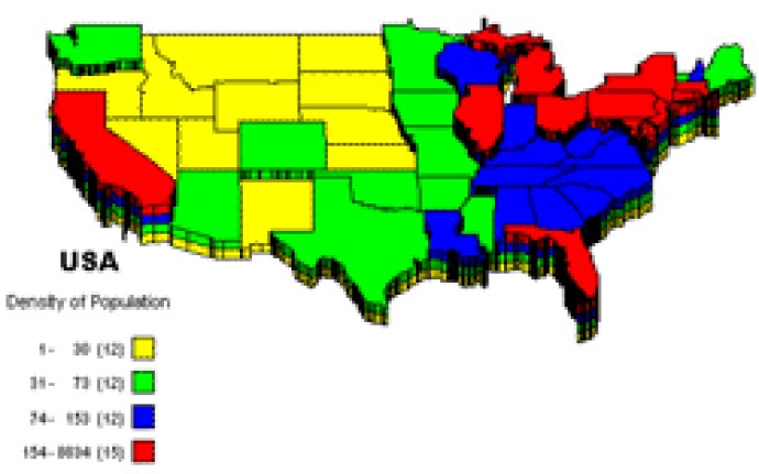
For example, you can extrude state and county boundaries to 3D prisms, shade them in color, spray them with dot-density, embed individual pie and bar charts, or place them in a matrix for portfolio analysis. You can add new custom point layers to your maps. Maps and spreadsheets can be printed from any Windows-compatible printer. Maps can also be exported in various formats such as BMP, EMF, PNG, JPG, and PDF. PolyMap can also send maps as attachments to any email address using MAPI compatible email clients like Outlook Express or Mozilla Thunderbird.
This trial version will operate for only 30 days and comes with only a fraction of the maps available in the registered edition. Additional sample maps, WiKi documentation, and a tutorial can be obtained from the PolyMap website. The software also features new functions, such as a Charting Module, Export to PDF format, Consolidate Data, Radius select, Map to Web link, and Geocoding.
Version 3.1.0: Add Points from Latitude and Longitude by Geocoding, OpenSteet Map