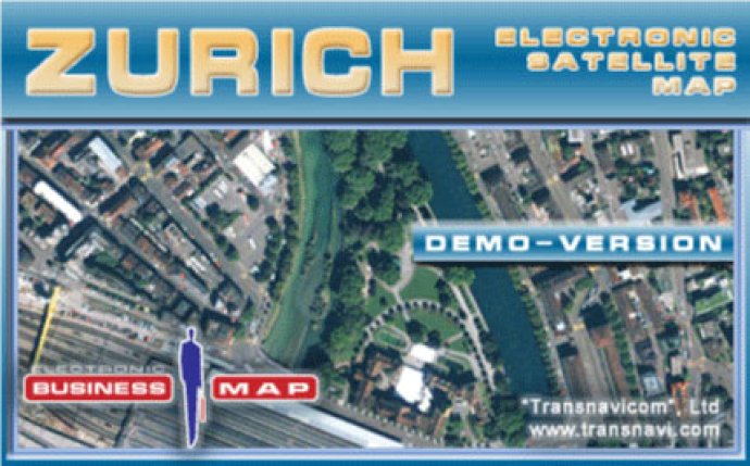
Transnavi.com offers a demo-version of a high-quality and unique Satellite Map of Zurich, utilizing the latest developments and progressive experience in satellite technology. Accessible to everyone, this product showcases the potential of satellite mapping technology.

With the demo-version of the programme, you can experience the reality of your dreams with satellite maps from Transnavi.com. This version provides a thorough introduction to a district of Zurich, with functions that include an address-search tool and the capability to measure the distance between any number of points.
With a spatial resolution of 60 centimeters in one pixel, the Satellite Map of Zurich allows users to see intricate details of buildings, streets, cars, and more. The multilevel scaling function provides flexible zooming capabilities, from a panoramic view of the city to a detailed configuration of the building. Quick navigation is also an appealing feature, as moving around the map is fulfilled simultaneously with the mouse's movement without any delays.
Other useful features include a searching system by name or postal address, informative details about objects upon cursor hovering, and a functional Navigator function for easy orientation and navigation around the map. A distance-measuring tool and printing options allow for customizability, and the interface is user-friendly with the capability to switch between three languages - English, German, and Russian.
Overall, the Satellite Map of Zurich demo-version by Transnavicom is an excellent software tool that offers users a detailed and professional experience with their product.
Version 1.0: N/A