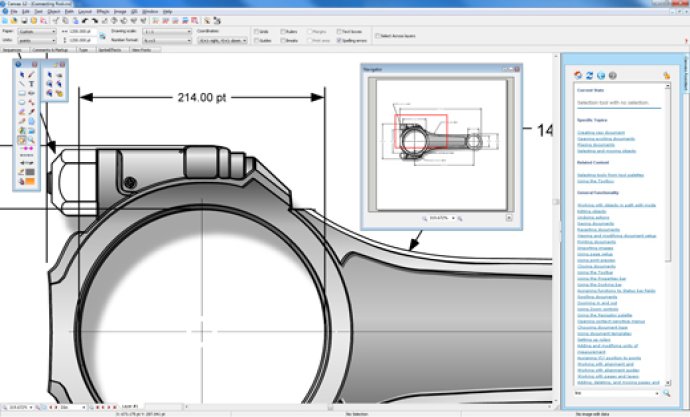
Canvas is a software that optimizes technical illustration workflow. Ideal for professionals in high-tech fields, it enables accurate visualization of technical data and boosts productivity by streamlining collaboration.

Canvas comes with the GIS+ module, which offers commanding GIS-based tools and operations that support all major GIS formats, map projections, and advanced property operations. The software provides an all-in-one integrated environment for technical illustration, with access to a wide variety of standard and specialized formats for existing graphics. As a Canvas user, you are not limited to certain enhancements on vector or raster images; you can access a wide range of enhancement tools for any type of graphic.
With Canvas, you can work with both vector objects and raster images in the same document, and perform either freehand or numerical drawing and editing, depending on your preference. Canvas also provides advanced text capabilities and a set of tools for publishing, presenting, and collaborating, allowing you to complete your entire workflow in a single application.
In specialized workflows that require high-level format support and advanced methods of data analysis and visualization, Canvas has the critical ability to measure, edit, and export digital images that contain up to 32 bits per channel of data—ultimately improving productivity and facilitating collaboration. If you want a streamlined technical illustration workflow without sacrificing power or accuracy, then look no further than Canvas.
Version 12.00.1389: 3D View, Geometric Import/Export, New Vector Drawing Tools, Automatic Flowcharting Tools, Symbol Pen