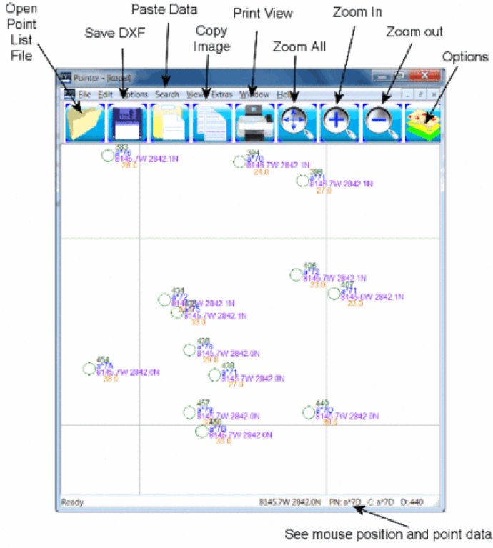
Pointor is a software that imports 2D or 3D point lists and displays them as a graphic. The software saves the display as a DXF file that can be opened in other applications. Features such as search and measurement functions are also available.

To use Pointor, you simply need to open your text file by selecting file open in the menu or dragging and dropping your file into the Pointor window. If you have an Excel or Access file, you can import it by copying and pasting the data. Once you have selected the format and file, you can preview the points you wish to import and customize various layers, decimal points or other options in the options menu.
When you have imported your points, they will appear in the main window where you can view them, search for points according to their code, description, or number, and even measure distances. You can also save your points as a DXF file or copy your image as a bitmap for further use.
Overall, Pointor is a user-friendly software tool that provides a simple and efficient solution for importing and managing large lists of geographical or other types of points in a variety of file formats.
Version 6: N/A
Version 4: N/A
Version 3: N/A