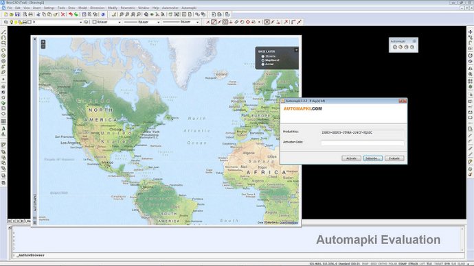
Automapki integrates AutoCAD, ZWCAD, and Bricscad with popular web mapping sources such as Bing Maps, Google Maps, Yahoo Maps, and Open Street Map. The software allows the user to display their project on top of satellite imagery in real-time.

Using Automapki with standard AutoCAD, ZWCAD, or Bricscad, as well as any vertical product, is easy. Plus, the app supports over 3000 coordinate systems, enhancing its flexibility and adaptability.
One of Automapki's key features is its ability to stylize drawing entities with the selected web mapping provider. This allows for a more visually appealing and intuitive drawing experience, while also allowing you to stand out from other users in the global CAD community.
If you're looking to add satellite imagery and web mapping to your AutoCAD, ZWCAD, or Bricscad software, Automapki is a great choice. It's easy to use, supports a wide range of coordinate systems, and allows for a more visually appealing, unique drawing experience.
Version 1.3.3: Refresh maps browser in AmDrawInBrowser command, show hidden floating maps palette for BricsCAD V13.