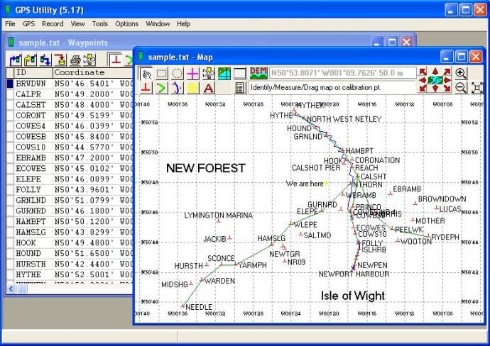
GPS Utility is a user-friendly software for editing, organizing and visualizing GPS data. It enables simple management of GPS information through mapping and manipulation operations.

GPS Utility is a perfect tool for those who need to work with data from different file formats, datums, and grid coordinate systems. It's a breeze to visualise GPS data over a background map using this software, and users can easily export their data to Google Earth. This feature can come in handy when presenting visual data to clients or colleagues.
Apart from visualising data, GPS Utility allows users to prepare their GPS routes and waypoints before uploading them to their GPS receiver. This functionality ensures that users have verified the routes and waypoints before uploading them, thus saving time and effort.
Overall, GPS Utility is an excellent software for anyone who works with GPS data. Its powerful features and easy-to-use interface make it a valuable tool for a variety of applications. Its data manipulation tools and data visualisation capabilities make it a must-have software for those who work with GPS data regularly.
Version 5.17: Support Furuno *.PNT and *.HIT files. Support for Navtrack *.DAT files. Added a new tool, Highlight Annotations in Area in map view and show surrounding box. Support for import of *.STK Track files.