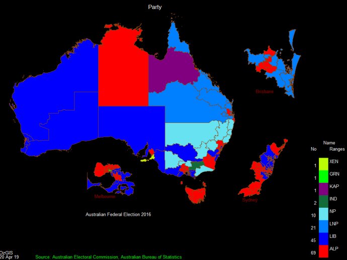
OzGISMac is a software system that allows the analysis and display of geographically referenced data to inform management decisions. It is often used to analyze socio-economic and demographic data garnered from censuses and surveys.

You can display data as different types of maps and diagrams and manipulate them according to your needs. Additionally, the software has facilities to analyze the displayed data and perform site catchment analysis, location/allocation, and territory assignment. You can also analyze data generated by censuses and surveys to make informed decisions about management, such as marketing, sales, and personnel location.
The software also offers special support for environmental data mapping, allowing you to display different spatial data types. If you need help using the software, you can search for tutorial and demonstration videos on Youtube by searching for OzGIS. Overall, OzGISMac is an incredible software system that offers a wide range of features and functionality suitable for managing and analyzing geographically referenced data.
Version 14.7-14.11.2020: Improved Release