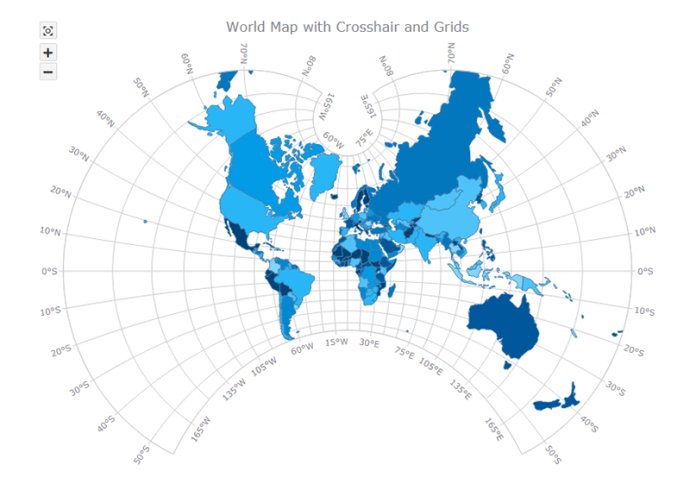
AnyMap JS Maps is a flexible and customizable JavaScript-HTML5 mapping library that comes with an extensive collection of maps. It enables users to effortlessly generate interactive maps that are compatible with a wide range of devices, including desktops, mobiles, and tablets.

AnyMap JS Maps comes with a pre-built Map Collection that you can use at no cost. These maps are supplied in GeoJSON format, which allows for easy editing and manipulation. Additionally, custom maps can be created from any SHP map. AnyMap JS Maps is fully compatible with other AnyChart JS Charts' HTML5 charting solutions, including AnyChart JS, AnyStock JS, and AnyGantt JS, making it a versatile standalone map visualization tool that can be used in a dashboard as well.
There are several features available in AnyMap JS that make it an advanced mapping library. Firstly, it boasts an ever-expanding Map Collection with various country-specific and world maps. Secondly, it is highly customizable, with special reactions assigned to certain events via event listeners. Thirdly, it offers a wide variety of interactive options for HTML5 maps, such as tooltips, selection, hover, drill-down, and more.
Furthermore, users can choose from various types of maps, including Choropleth Map, Point (Dot) Map, Bubble Map, Connector Map, and Seat Map. AnyMap JS Maps also offers longitude/latitude support, allowing users to set coordinates (location) of Bubbles in Bubble JavaScript Charts in long/lat degrees. The API also allows users to convert mouse coordinates to longitude and latitude and vice versa.
Other features include changing scale, moving the map, and creating custom UI via API. Users can also take advantage of the rich integration of keyboard and mouse controls, as well as various map projections, making AnyMap JS Maps a powerful mapping solution.
Version 8.7.0: Client-side export - save your data visualizations as images (SVG, PNG, and JPG) and PDF documents without a roundtrip to the server. Polygonal selection - select points on JS map charts by drawing a polygone; can be configured using the API and is also available to the end user from context menu.